In the bustling city of Amersfoort, a significant increase in...

Safer journeys commuting to School
Geolocalized data and advanced geofences are key components for navigation apps, fleet management and transport & logistics solutions to increase safety around Schools.


OUR DATA PRODUCTS
Geofences around Schools to protect students, reduce air pollution and traffic congestion.
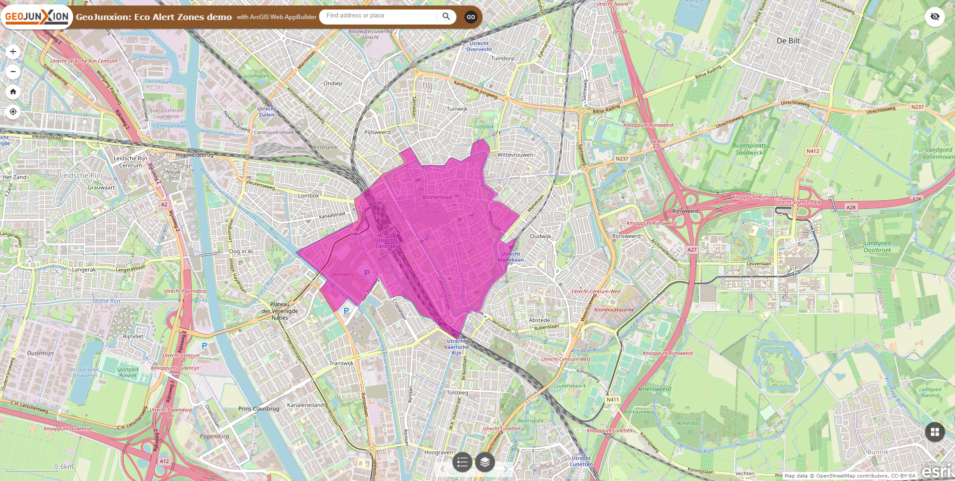
Geofences are virtual boundaries built around real-world locations like schools. GeoJunxion B.V. develops geofences that, when properly integrated and utilized in various GPS-based applications, can help protect students, reduce air pollution, and ease traffic congestion around schools and other critical areas (like hospitals, playgrounds and more).

School Streets
A School Street is a road near a school with temporary restrictions on motorized traffic during specific times, typically around drop-off and pick-up periods. School Streets represent a growing measure in promoting safer, healthier, and more sustainable school environments.

School Zone
A School Zone is an area surrounding a school built to prioritize the safety of students, particularly when they commute to and from school. It typically encompasses the school grounds and extends to neighboring streets, sidewalks, bus stops and crosswalks where children are likely to be present.

All Zones
Any other area or Environmental Zone designated to enforce certain restrictions on vehicles to improve air quality and reduce traffic congestion. These zones are typically implemented in densely populated areas or city centers where traffic congestion and pollution levels are high.
ABOUt US
We are committed to building geo-datasets that foster cleaner air and safer streets for all road users on their daily commute around schools or in city centers
Geofences offer a smart and innovative way to enhance safety, promote eco-friendly practices, and improve traffic flow around schools and other critical areas. Geofences create a more secure and sustainable environment for everyone.
For instance, virtual boundaries can be set up around schools to:
- help road users avoid entering the school zone during opening and closure times
- securing safety for children and their parents commuting to school
- as well as logistics companies and private road users to choose the most efficient and cost effective solution to their final destinations.

Blog
Our Most Recent Publications

Streets For Kids: A Spring 2024 Initiative for Safer, Cleaner, and More Active Streets
As we welcome the Spring of 2024, we also welcome...

Frome: Creating Safer School Streets
In an era where sustainability and safety are paramount, initiatives...
Why us?
40 years of experience in digital maps
“School Safety” is powered by GeoJunxion BV, specialist and market leader in map-making, data aggregation and geofences creation. With geographical data at our core, we understand the complexities involved in digitizing data and use such data for safety and sustainability.

Increase Road Safety
Geofences are a proactive solution for school communities to tackle road danger and reduce accidents.

Improve Air Quality
Geofences help to create a healthier and pleasant environment for everyone.

Avoid Traffic Congestion
Geofences help drivers to avoid congested areas, encouraging active travel to school for families.

Optimize Routes
Geofences are a solution to optimize routes in the city centers, reducing time to destination and related costs.
Our Experts
Unleashing the Power of Our Experts
Our staff consists of experienced experts in the field of GIS, geo-databases and Location Based Services.
Keep in touch with our Sales and Business Development Team


Arjan Spigt
Head of Sales and Marketing


Stef van der Helm
Enterprise Sales Manager
CONTACT US
Get In Touch
+31 10 8851200


